
Mapping with Radar with Imbabura
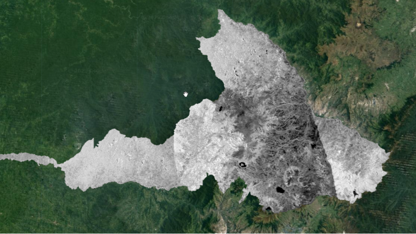
The Mapping with Radar in Imbabura service brings Synthetic Aperture Radar (SAR) and other remote sensing resources to map land cover of the province of Imbabura in Ecuador. The service consists of a mapping approach in Google Earth Engine for automating the classification of radar and optical imagery to create a 2019 land cover map of Imbabura. This service improves existing capacities to measure and monitor Ecuador's land cover and land use with emphasis on the Amazon region for forest management and governance including the context of forest and land use planning and related activities.
Rationale
Given the amount of clouds always present in several areas of the province due to its geographical location, it is imperative to find new solutions to the problems of mapping land cover with traditional optical images. Therefore, the overall objective of the service is to improve existing capacities to measure and monitor land cover and land use in the province of Imbabura, by incorporating SAR data, for forest management and governance including the context of forest and land use planning and related activities.
-
Users
Gobierno Autónomo Descentralizado (GAD) Provincial de Imbabura
Ministry of Environment, Water, and Ecological Transition (MAATE) of Ecuador