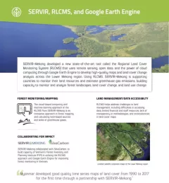
Fact Sheet Factsheet: Mekong Regional Land Cover Monitoring System (RLCMS) SERVIR, RLCMS, and Google Earth Engine December 13, 2020
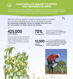
Infographic Using Satellite Imagery to Expand Crop Insurance in Kenya Through a partnership between SERVIR Eastern & Southern Africa and the Kenya Ministry of Agriculture, a new satellite-based crop mapping system and sampling methodology was developed to streaml October 23, 2020
Strategy & Guidance SERVIR Strategic Plan 2020-2025 This strategic plan identifies the next set of cross-cutting strategic priorities that will ensure SERVIR remains responsive to both NASA and USAID Agency goals and those of stakeholders and users in SERVIR regions. October 10, 2020
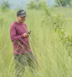
Use Case Use Case: Nepal Forest Research Training Centre How the Nepal FRTC used the Regional Land Cover Monitoring System The FRTC, which is under the jurisdiction of Nepal’s Ministry of Forests and Environment, is the government-sanctioned organization that is responsible for forestry research and survey activities at the national level. September 28, 2020
Use Case Use Case: Bangladesh Flood Forecasting and Warning Centre Enhancing Flood Early Warning Services aims to build the resilience of vulnerable communities in the Hindu Kush Himalayan region by increasing flood forecast lead times that are hosted on an interactive web platform. September 14, 2020