Articles & Stories
Applied Sciences Team project informs decision makers with fire season forecast
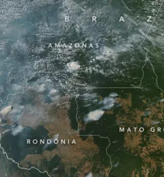
SERVIR AST member Doug Morton discusses the upcoming fire season in Amazonia in a new NASA article.

35 results
SERVIR AST member Doug Morton discusses the upcoming fire season in Amazonia in a new NASA article.
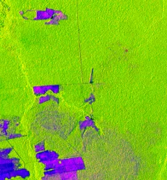
One of the major challenges in monitoring forests is identifying forest degradation processes. Recent years have seen advancements in satellite remote sensing technology, which has in turn revealed changed patterns of illegal deforestation activity in the Amazon rainforest.
In line with its service co-development approach, SERVIR-Amazonia is bringing diverse Brazilian stakeholders together to identify local development problems and identify solutions in form of tools, data sets, training resources and capacity building activities that use satellite data, Earth science, and geospatial technologies.
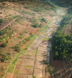
Rwanda is among the smallest countries in mainland Africa, roughly the size of Maryland with twice the population. Less land area means harder decisions, such as balancing land allocated for agriculture versus areas designated for forest conservation.
To sustainably manage forest landscapes, governments and decision makers need accurate and up-to-date information on the extent of the forests they manage and the ways they are changing.