Fact Sheet
Fact Sheet: Support for Commune-Level Development Planning in Burkina Faso
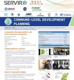
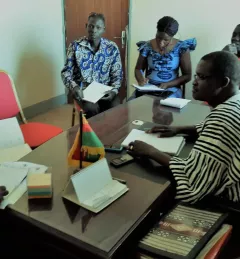
This fact sheet highlights how SERVIR West Africa is supporting sustainable management in Burkina Faso through commune-level development planning.