Fact Sheet
Fact Sheet: Online Mapping to Fight Illegal Mining in Ghana
This fact sheet highlights efforts to monitor illegal mining in Ghana.

10 results
This fact sheet highlights efforts to monitor illegal mining in Ghana.
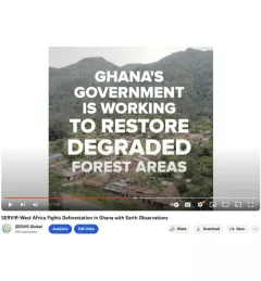
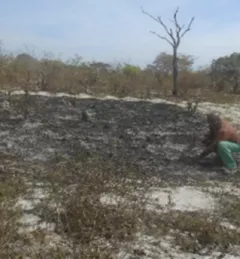
Ghana is home to some of the most biodiverse and carbon-dense forests in the world. But more than a third of them have been lost in recent decades.
The U.S. Forest Service is hosting webinars to introduce an online training course on Remote Sensing for Forest Cover Change Detection. This activity comes as part of the USAID-funded SilvaCarbon initiative.
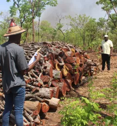
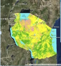
The Charcoal Production Site Monitoring Service is a web-based platform for visualizing the spatial distribution of charcoal production sites, thereby facilitating forest degradation monitoring in the study areas.

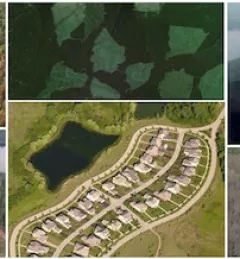
Collect Earth Online is a custom built, open-source, satellite image viewing and interpretation system developed by SERVIR, FAO, and other partners as a tool for use in projects that require land cover and/or land use data.
According to the World Wildlife Fund, over 2 billion people rely on forests for shelter, livelihoods, water, food, and fuel security. Forests even help renew our air supply, as they take in large amounts of carbon dioxide and release oxygen.
Firewood and charcoal provide more than 80 percent of energy used in sub-Saharan Africa, according to the World Agroforestry Centre, with only a small volume produced sustainably.
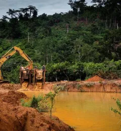
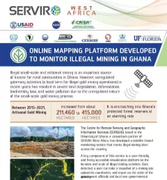
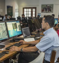
The Monitoring of Artisanal Mining (Galamsey) in Ghana Service is a monitoring platform with information on the location of illegal mining sites across Ghana and their associated land degradation.
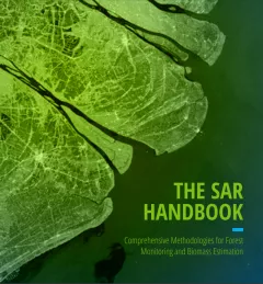
The SAR Handbook: Comprehensive Methodologies for Forest Monitoring and Biomass Estimation is the culmination of a two-year collaboration between NASA SERVIR and SilvaCarbon.
To sustainably manage forest landscapes, governments and decision makers need accurate and up-to-date information on the extent of the forests they manage and the ways they are changing.