Water Security
Development and Management of Groundwater Analysis and Information System in Niger
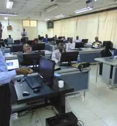
The Development and Management of Groundwater Analysis and Information System in Niger is a platform to improve and make available information on groundwater in Mar