Articles & Stories
SERVIR Profile of Africa Flores

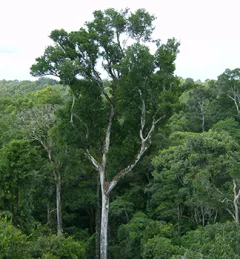
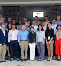
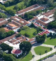
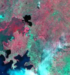
Meet Africa Flores, Land Cover Land Use Change & Ecosystems Theme Lead / SERVIR-Amazonia Science Coordination Lead for the NASA SERVIR Science Coordination Office.