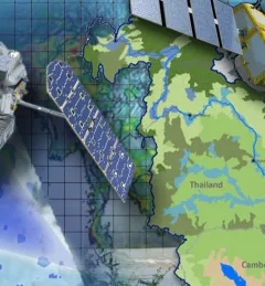
Weather & Climate Resilience
Improving Rainfall Estimates for Flood Forecasting in Cambodia
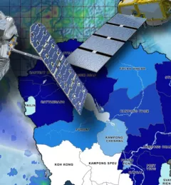
This service was designed to support Cambodia's efforts to improve flood forecasting by incorporate the Virtual Rain and Stream Gauge Information System (VRSGIS) data stream into their hydrological models.