Ecosystem & Carbon Management
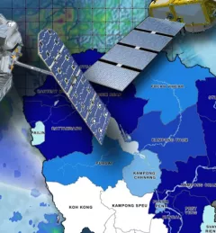
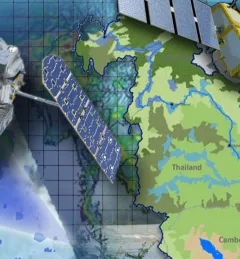
Building a Dashboard to Monitor, Evaluate and Report Landscape Improvements in Cambodia
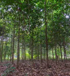
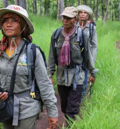
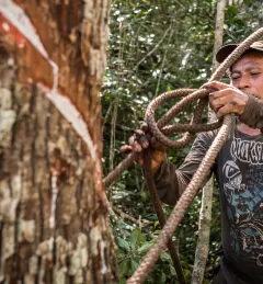
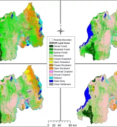
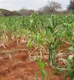
The service, Building a Dashboard to Monitor, Evaluate and Report Landscape Improvements in Cambodia, addresses the demand from USAID/Cambodia to monitor and evaluate projects that target biophysical improvement and enhance biodiversity conservation on the ground.