
New Use Cases Show SERVIR Services at Work
SERVIR is pleased to introduce a new series of articles capturing how local organizations around the world are using SERVIR geospatial services. SERVIR services are utilized by government ministries, NGOs, and the private sector. Each use case tells a unique story about the local challenges these users face and how SERVIR’s geospatial tools, data, and resources are helping bring about positive change.
Our first collection of use cases includes stories of improving a flood forecasting system along the Mekong River, monitoring the negative impacts of charcoal production sites in Ghana, and producing forecasts with greater lead time in daily flood bulletins in Nepal.
Use cases now available include:
- A Rocha Ghana’s use of the Charcoal Production Site Monitoring Service
- Vietnam Academy for Water Resources’ use of the Regional Drought and Crop Yield Information System (RDCYIS)
- The Mekong River Commission’s use of the Virtual Rain and Stream Gauge Information Service (VRSGIS)
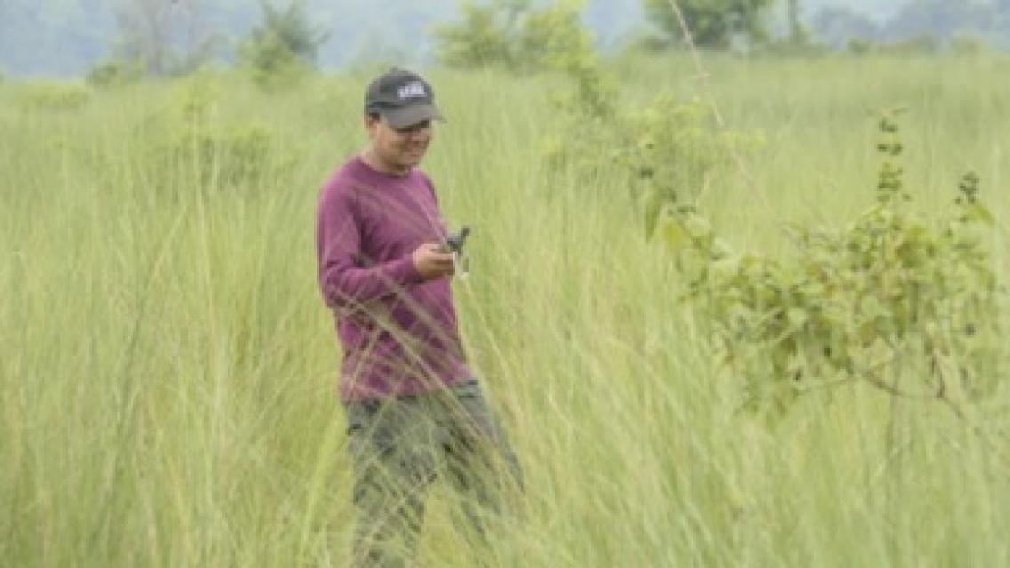
- Nepal Forest Research Training Centre’s use of the Regional Land Cover Monitoring Service (RLCMS)
- Nepal Department of Hydrology and Meteorology’s use of the Enhancing Flood Early Warning Services (EWS)
- Bangladesh Flood Forecasting and Warning Centre’s use of the EWS
New use cases will be continually added to the SERVIR Global website. As they are developed, use cases will be featured within our Service Catalogue under the relevant service to demonstrate how specific users or groups are leveraging SERVIR services for tangible outcomes.