Video
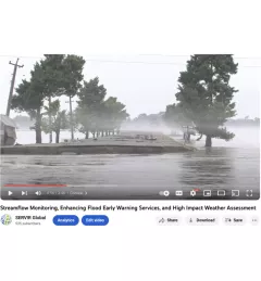
Streamflow Monitoring, Enhancing Flood Early Warning Services, and High Impact Weather Assessment

7 results
The Monitoring Extreme Weather in the Hindu Kush Himalaya (HKH) service provides a customized numerical weather prediction toolkit to assess high impact convective weather events over the HKH region.

The Hindu Kush Himalayan (HKH) region is no stranger to water- and weather-induced hazards. Every year, these disasters result in loss of lives, livelihoods, and damage to infrastructure throughout HKH countries.
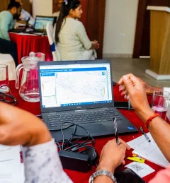
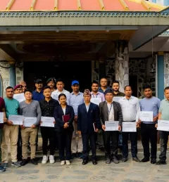
SERVIR Hindu Kush Himalaya partnered with the University of Alaska Fairbanks to organize a training titled HydroSAR: Extracting flood information from SAR to advance the use of SAR at ICIMOD and across the HKH region.
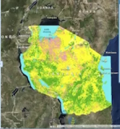
To sustainably manage forest landscapes, governments and decision makers need accurate and up-to-date information on the extent of the forests they manage and the ways they are changing.
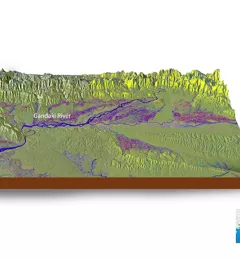
As part of this service, SERVIR HKH, with the technical support of Brigham Young University developed a streamflow prediction tool that incorporates all primary and secondary rivers in the HKH region
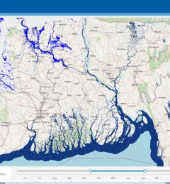
Floods are a recurring event in the HKH region that often have disastrous consequences. To help better understand these events, SERVIR HKH developed the Flood Inundation Mapping Tool, a cloud-based system developed to map flood areas in Bhutan, Bangladesh, Nepal, and the northeast part of India.