Articles & Stories
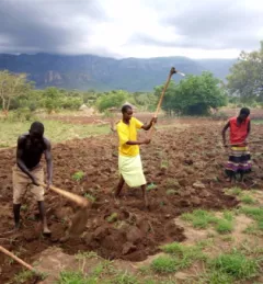
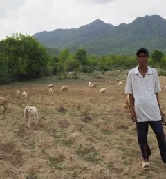
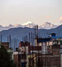
New drought monitoring system will reduce climate risks for South Asian farmers
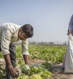
After Afghanistan, Nepal, and Pakistan, the Regional Drought Monitoring and Outlook System extends its coverage to Bangladesh.