Video
Regional Drought Monitoring and Early Warning System
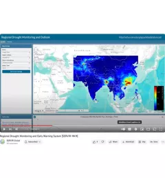
SERVIR scientists discuss the how the Regional Drought Monitoring and Early Warning System is being used in the Hindu Kush Himalaya region.

12 results
SERVIR scientists discuss the how the Regional Drought Monitoring and Early Warning System is being used in the Hindu Kush Himalaya region.
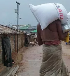
Enhancing Anticipatory Actions for Disaster and Climate Resilience aims to reduce the loss of lives and damage to properties and crops from floods and droughts by improving early warnings using satellite data and geospatial information.
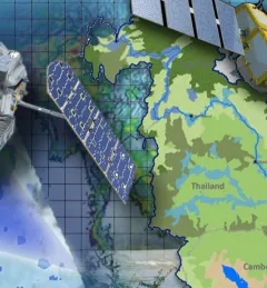
Through the Improving the Mekong River Commission's (MRC) Regional Flood Forecasting Service, SERVIR Mekong supported the MRC to use new-generation satellite-derived precipitation products to increase flood forecast accuracy.
The Monitoring Extreme Weather in the Hindu Kush Himalaya (HKH) service provides a customized numerical weather prediction toolkit to assess high impact convective weather events over the HKH region.

The Supporting Better Riverine and Flash Flood Forecasting for the Lower Mekong service improves riverine flood forecasts and enhances flash flood guidance monitoring in the region.
The Mekong River Commission (MRC) is an intergovernmental organization that provides coordination and technical input on flood management to the members of the Lower Mekong countries including Cambodia, Lao PDR, Thailand, and Vietnam.
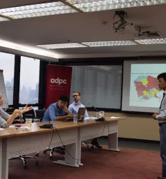
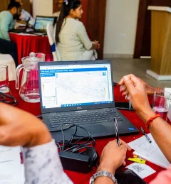
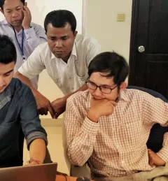
On March 8 to 9 SERVIR-Mekong organized a final workshop for the Small Grants Program, a 10-month program that supported organizations and institutions that use Earth observations to address environmental management challenges in the Mekong Region.

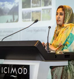
ICIMOD, under its SERVIR-Hindu Kush Himalaya (SERVIR-HKH) and Climate Services for Resilient Development (CSRD) Initiatives, is collaborating with technical organizations in the United States and meteorological and agricultural institutions in the HKH to establish a regional agricultural drought monitoring and early warning system.
The Hindu Kush Himalayan (HKH) region is no stranger to water- and weather-induced hazards. Every year, these disasters result in loss of lives, livelihoods, and damage to infrastructure throughout HKH countries.
The SERVIR program, launched in 2005, connects NASA, U.S. researchers, a network of development partners around the world, and companies like Google to harness the power of satellite observations — helping countries see, with greater clarity, how their environments affect well-being and safety.