Articles & Stories
Three Ways SERVIR is Supporting Biodiversity in the Amazon
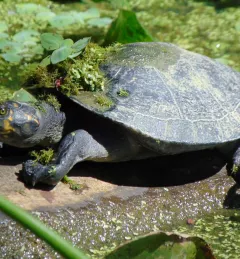
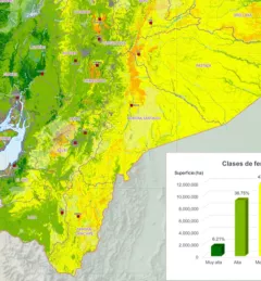
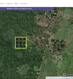
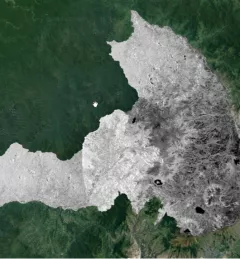
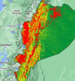
May 22 is World Biodiversity Day, and this year we’re highlighting SERVIR’s commitment to protecting biodiversity in the Amazon Rainforest.