Articles & Stories
Fortifying Forest Fire Forecasting for Nepal
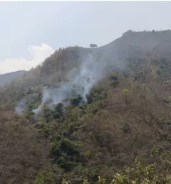
Between January 1st and June 16, 2023, Nepal experienced 118% more forest fires than it had in all of 2022.

18 results
Between January 1st and June 16, 2023, Nepal experienced 118% more forest fires than it had in all of 2022.
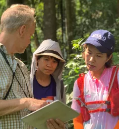
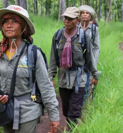
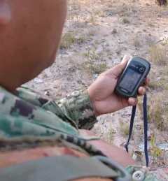
Forest rangers in one of Cambodia’s largest remaining forests now get deforestation alerts based on NASA satellite data.
|Ankit Joshi, SERVIR Southeast Asia and Jacob Ramthun, SERVIR Science Coordination Office
The Geospatial Applications for Protected Area Alerts and Crop Maps service aims to decrease greenhouse gas emissions and improve the livelihoods of local communities. To do this, SERVIR SEA develops user-friendly decision support tools for monitoring forest clearance activities.
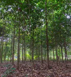
Land Cover Monitoring for Forest Protection and Healthy Ecosystems aims to decrease greenhouse gas (GHG) emissions, while supporting biodiversity conservation and augmenting water conservation.
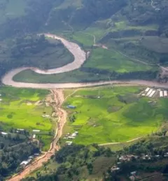
Nepal’s National Land Cover Monitoring System represents a pivotal achievement and is poised to significantly enhance the country’s climate data and efforts to cut emissions and adapt to climate change. This system is important for assessing and overseeing the ever-changing landscape, which is crucial for the sustainable stewardship of Nepal’s natural resources.
|Jaber Hassan and Sajana Maharjan, SERVIR HKH
The service, Building a Dashboard to Monitor, Evaluate and Report Landscape Improvements in Cambodia, addresses the demand from USAID/Cambodia to monitor and evaluate projects that target biophysical improvement and enhance biodiversity conservation on the ground.
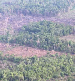
Developing the Cambodia Protected Area Alerts System is a service that monitors near real-time forest changes and external threats including deforestation, forest fires, and floods within the Prey Lang Wildlife Sanctuary, a protected area in Cambodia.
The Increased Capacity and Public Access to the Ministry of Environment (MOE) Geospatial Data Portal service supported the Cambodia MOE’s sustainable landscape initiatives by increasing public access to its Environmental Data Portal.

The service, Increased Capacity of NGOs and Educational Institutions to use Remote Sensing to Monitor Forest Cover and Landscape Management, increased technical capacity and provided technical assistance to select partners working to monitor and protect land and forest resources in Cambodia.
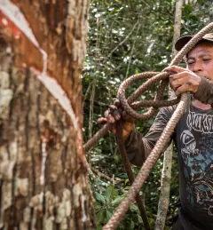
Greening Prey Lang, a USAID program, used Collect Earth Online (CEO) as part of their efforts to protect critical forestland in Cambodia and improve the lives of the people who live there.