Training
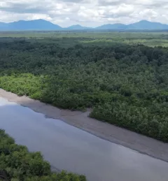
Mapping and Monitoring Mangroves using Google Earth Engine
A Virtual Workshop hosted by SERVIR Amazonia
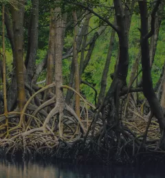
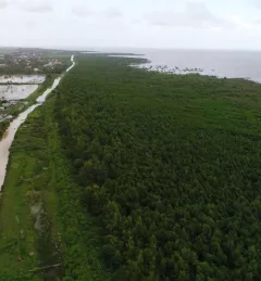
This workshop is the third in a series offered by SERVIR Amazonia focused on using remote sensing to monitor mangroves in Guyana.