Articles & Stories
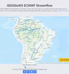
SERVIR Boosts Forecasting Power in South America

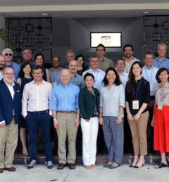
SERVIR's Dr. Jim Nelson and Jorge Luis Sánchez, both of Brigham Young University (BYU), are helping government agencies in South America develop web tools for meteorology and hydrology forecasts.