Video
Video: SERVIR Connecting Space to Village
This video provides a four-minute introduction to SERVIR.

497 results
This video provides a four-minute introduction to SERVIR.
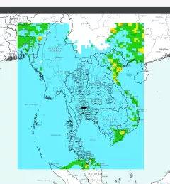
The Enabling Sustainable Landscape-Scale Agricultural Management through Fire and Air Quality Monitoring service guides authorities to regulate agriculture burning and manage forest fires using the Mekong Air Quality Explorer Tool.
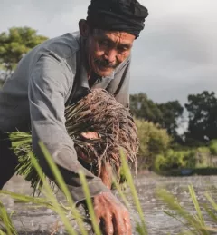
The Geospatial Applications for Food Security and Sustainable Landscapes service aims to improve food security in Burma (Myanmar) by improving crop planning and forest landscape management practices in the country.
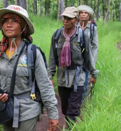
The Geospatial Applications for Protected Area Alerts and Crop Maps service aims to decrease greenhouse gas emissions and improve the livelihoods of local communities. To do this, SERVIR SEA develops user-friendly decision support tools for monitoring forest clearance activities.
Land Cover Monitoring for Forest Protection and Healthy Ecosystems aims to decrease greenhouse gas (GHG) emissions, while supporting biodiversity conservation and augmenting water conservation.
Learn how the SERVIR program is harnessing the power of science and technology for development in this two minute video narrated by NASA Astronaut Mae Jemison.
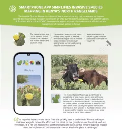
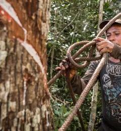
The Invasive Species Mapper is a citizen-science smartphone app that crowdsources invasive species detection to give managers information on their current extent and spread.

The Kenya tea industry supports 10 percent of Kenya's population, around 3 million families. The industry is prone to damage by frost due to the altitudes in which it is grown.
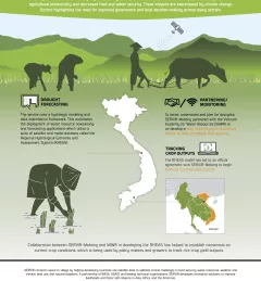
Droughts in the Lower Mekong region cause significant environmental and economic impacts, including loss in agricultural productivity and decreased food and water security.
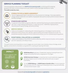
SERIR uses a "service" approach to identifying and addressing climate challenges.